Software packages for hydrology and environmental engineering have been developing in univerties or research institutions to model mathematically natural process of the water cycle within a watershed or a generic geographic area.
Thanks to the usage of free geographical data somehow released by public institutions, engineers, researchers in environmental science, partitioners or simple end-users can find answers to their questions and investigations by applying these data to such mathematical model. Moreover, sophisticated data analyse platform, such as R, allow to interpret the model output results automatically and provide a readable information for the end-user.
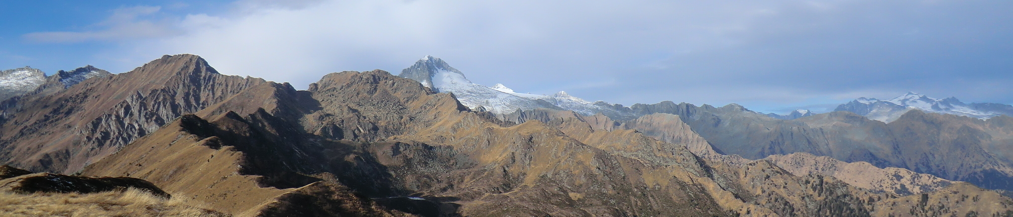
In this site, as an example, maps of snow depth in Val Rendena (Trentino, Italy) and its neighbourhood were computed with a 100 metre spatial resolution.